Services
Consulting
Data Analytics, Data Science, GIS / GA, Artificial Intelligence
We use an efficient Business Canvas approach to transform your data into targeted, actionable recommendations. Whether you need a one-time strategic analysis or an operational dashboard/decision-making system – we are here to help!
Already in the kick-off meeting, we align a model of the final results, so you always have a clear understanding of the outcomes.
Our advanced techniques in data visualization and geoanalytics allow you to intuitively understand patterns, trends, and insights.
Our connection to research institutions allows you to participate in the latest developments in geoanalysis, geoinformation systems, data science, and artificial intelligence through research transfer projects.
We are happy to advise you on how to leverage your investments with research funding programs.
We rely on integrated client/consultant teams to analyze data more quickly and ensure an efficient knowledge transfer by the end of the project.


GA / GIS / Software
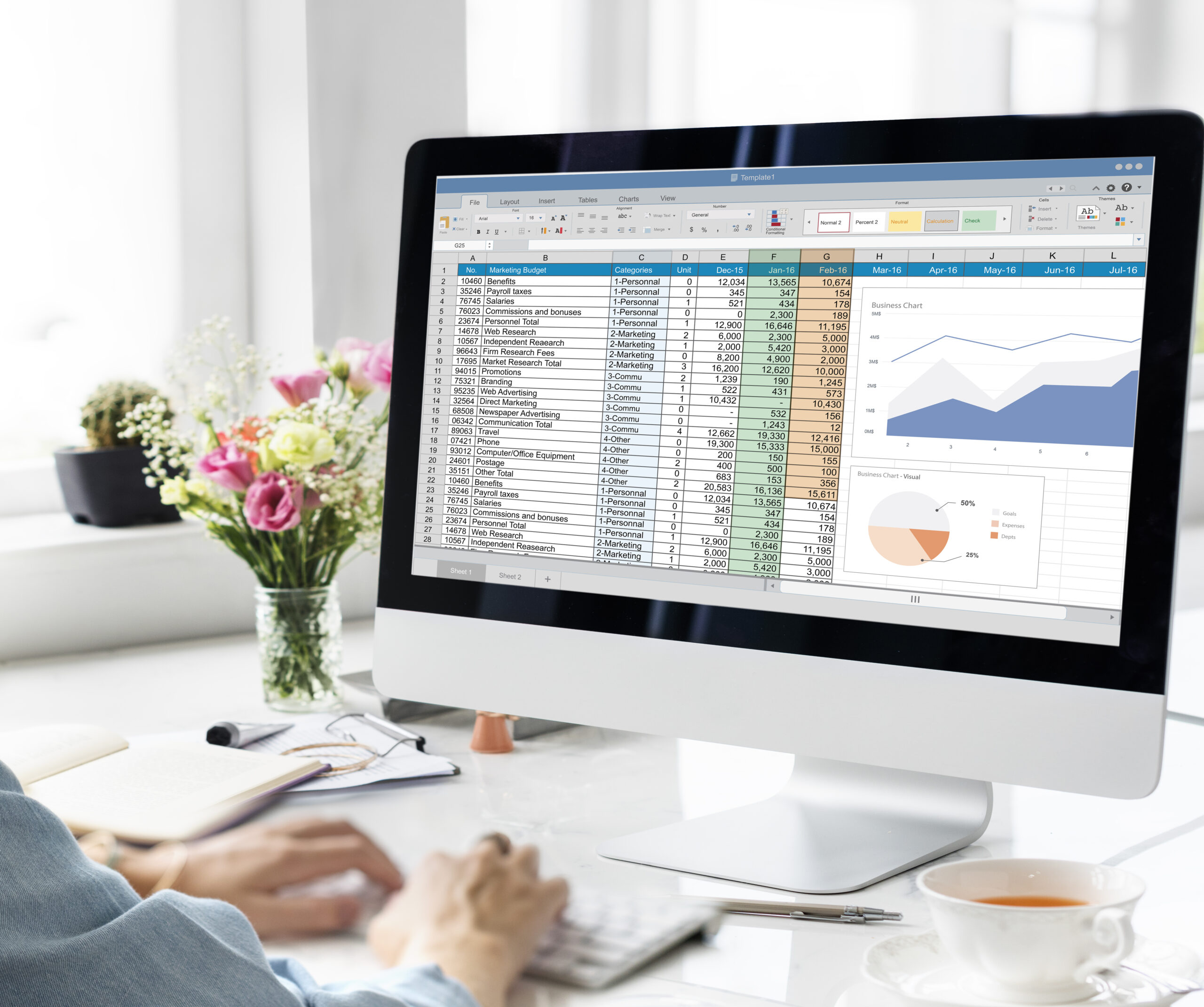
In the field of Geoanalytics, we draw on our extensive experience and a wide portfolio of geovisualization software (GIS), from our own user-friendly GeoLyx software to proven GIS solutions like ArcGIS and QGIS. Every business problem is unique, and we are happy to advise you on which software offers the best cost-benefit ratio for your needs.

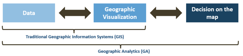
On GIS to GA: Geographic Analytics (GA) not only visualizes but also derives actionable recommendations
Objectives: Exclude unrealistic scenarios, reduce data requirements, and make solutions intuitively understandable.
GeoLyx Software: We integrate a proven methodology from practical projects with intuitive software to create an unbeatable combination
Discover the transformative potential of our modern, beginner-friendly software, GeoLyx, for Geographic Analytics (GA). Developed by GA users for GA users. In just minutes, you can create your first GA application and quickly turn your data into meaningful geoanalysis systems using your familiar Excel platform. Built-in business cases in the software help you set up your own geoanalyses.
Methodology:
- Focus on a few decision factors and small datasets
- Intuitive visualization elements
- Integration of expert knowledge
Software:
- Extremely easy to use
- Bidirectional data exchange between data and map
- Integrated use-cases
Comparison of GIS- and GA Software Packages
| Table Header | Table Header | Table Header | Table Header |
|---|---|---|---|
|
Integrated Approach: Software and Methodology |
No |
No |
Yes |
|
Bidirectional Data Exchange(Data <-> Map): Analysis information (e.g. distances) can be directly reused |
No |
Limited |
Yes |
|
Time to first map |
Hours |
Hours |
< 10 Minutes |
|
User-friendliness |
High |
Medium |
Intuitive |
|
Complexity of Visual Map Representation |
Very Complex |
Complex |
Low |
|
Knowledge Level to Create GA Applications |
GIS Expert |
GIS Advanced |
GIS Beginner / Layperson |
|
Use Cases |
Focus on GIS: User Community |
Focus on GIS: Videos; User Community |
Focus on GA: Videos; Built-in Cases |
|
License Fees / Year |
Open Source (0€); Implementation (1.750€) |
1.500€ – 3.000€ |
300€ – 500€ |
Training
Prepare your Analysis Team for the Future
In the fields of Data Science / Data Analytics, Geospatial Analysis, Excel Modeling, and Project Management
Our comprehensive training programs are designed to build and maximize your team’s expertise in Data Science / Data Analytics, Geospatial Analysis, Excel Modeling, or Project Management. Our customized training ensures that your employees can fully leverage the capabilities of the software to their advantage.